Morse Lake Weather
Cicero, Noblesville, & Hamilton County
Lake Levels
Travel Advisory
Winds
Moon
Solar
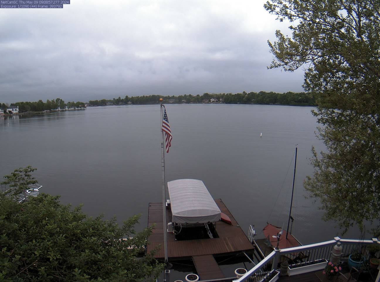
Photos
Announcements
Climate
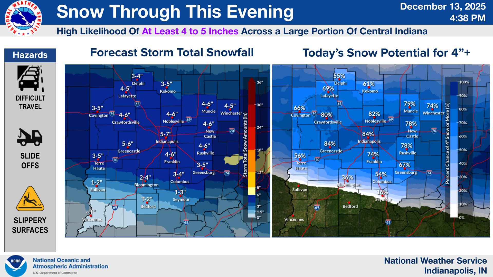
Storms
Climate History
River Levels
Tornado Forecast
NWS Warnings
June Solstice (Summer) arrives on June 20, 2024, 4:51 PM EDT
Click for Hamilton County warnings, watches, advisories